
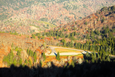
Many years ago I heard of a waterfall that could be reached by driving past Max Patch but for some reason had never looked into it--until this week. I found that this falls--Wolf Creek--could also be accessed via a hike and I can't imagine why I would drive to a falls I can hike to. The hike begins in the community of Wolf Creek and follows the path of the former Wolf Creek Road. A railway that was meant to link Newport, TN with Hot Springs, NC ended at Wolf Creek due to financial issues. The Wolf Creek road was an important link for the once bustling farming and lumber town of Wasp that is now only a location on a map. Evidence of homesteads can be discerned along the route.

The hike begins with one of several creek crossings. In low water, rock hopping may be possible but I come prepared to get my feet wet when waterfalling so that was not a concern. The first couple of miles that trail is fairly level and follows the creek closely, though walls of rhododendron and dog hobble often make it hard to view. The trail this day was filled with serenity and solitude. The only other soul I spotted was a large white-tailed deer who spotted me first and was exiting stage left when I caught a glimpse. Bears had also left their calling card on the trail but they remained out of view. The forest was thick and green on this summer day and blooms were few but present if you kept alert.

The trail begins a steady rise after two miles. At this point there are boulders and cascades that would make interesting photography subjects. But steep banks filled with stinging nettles argue against it. After about three miles, the trail takes a big switchback to take you far above and away from the creek. When you return to creek level at the falls, the descent is much less than the ascent. This makes me wonder about the topography of the missing section of creek and half-way tempts me to bushwhack along it to see if there are other cascades. Once you reach the falls, a steep but short scrabble takes you down to the base and view of the falls are bountiful from there.

At the base, there are wonderful rocks to relax and soak in the ambiance. The splash pool is smallish and probably only waist deep at most. the creek then changes direction, heading down to the left with a small cascade among impressive boulders.

After returning to the main trail, I continued on to find the parking area just a quarter mile further. From there, trails went to the top of the falls and side views. 

I returned to my car the way I came for a hike of about 7 miles. I thank my readers for coming along on the journey with me and welcome your comments and feedback.


Beautiful scenery. By a awesome brothwr
ReplyDeleteSounds like a perfect hike, thanks for the write-up!
ReplyDelete