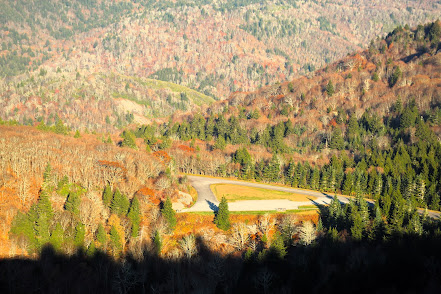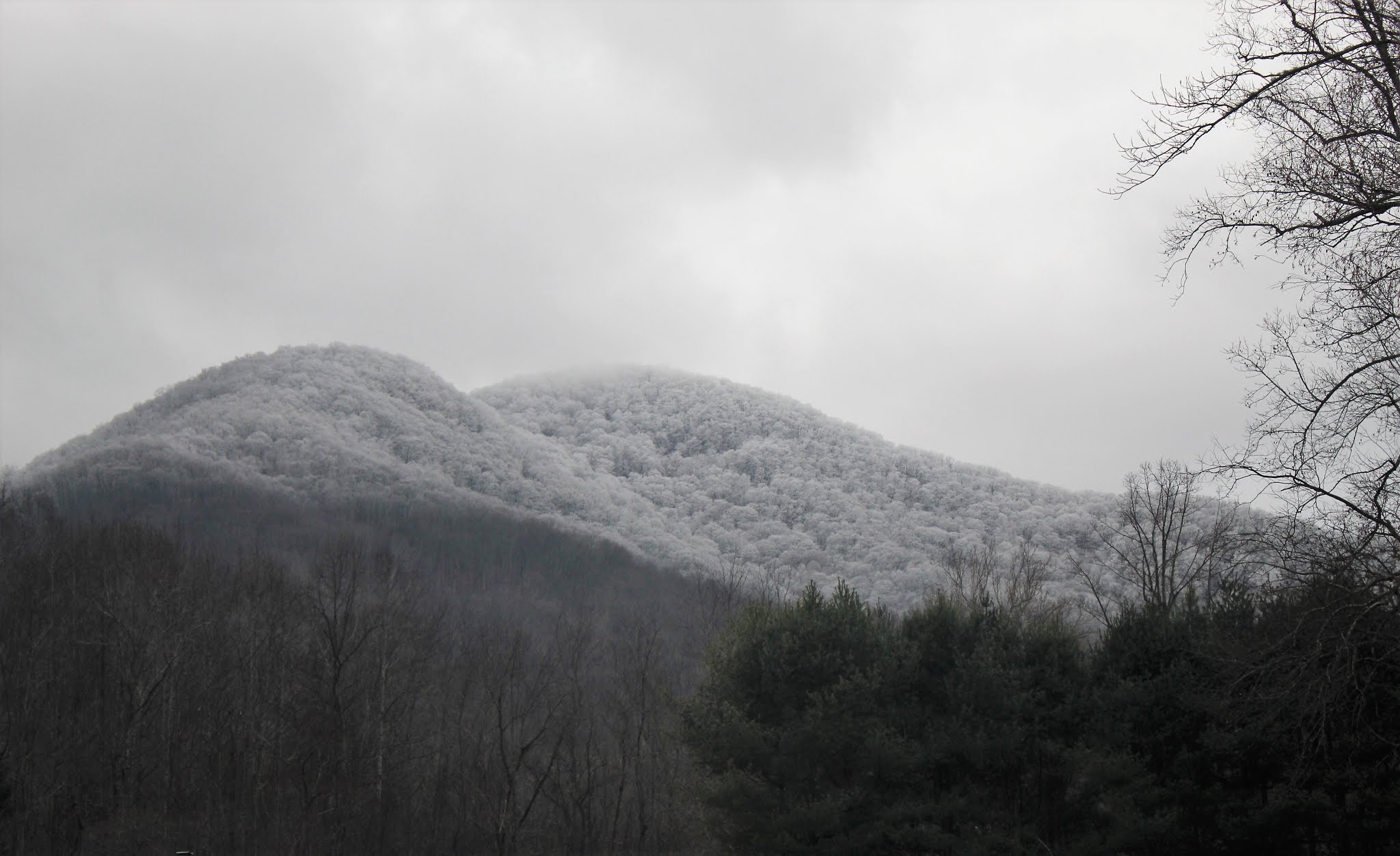
Happy Winter! Unlike past entries that have detailed long hikes with specific destinations, today I will be writing about an area that is off the beaten track and the joys of winter hiking. I visited the Big Ivy/Coleman Boundary section of Pisgah National Forest after neglecting it for too long and was able to ascend to an area that was frosted and being graced further by flurries. Big Ivy begins down in a valley with access on Dillingham Road at 2500 feet but extends upwards to the Craggy Peaks at nearly 6000 feet. Higher elevations will naturally be colder and have their own weather systems, with clouds and snow hugging them on otherwise clear days. This is good to keep in mind no matter what the season.

I discovered this region of Pisgah when I was new to the area (about 25 years ago!). I was hiking the stretch of Mountains-to-Sea Trail that runs through the popular Craggy Gardens and saw a trail labeled Douglass Falls. With no map or information about the trail, I naturally started down it. The tail is a rugged, steep descent of about 1500 feet that goes to a wonderful 70 foot waterfall flowing over a rock ledge. After paying my regards to the falls, I noticed that the trail appeared to go in the opposite direction so I had to see what else there was. A short distance on a nice level path took me to a parking area for the other end of the trail. I stored that in my memory as I turned back for my 1500 foot ascent with a tear in my eye.

Big Ivy is a community that takes its name from the Ivy river that traverses it and originates from the local term “ivy” for the mountain laurel shrub that are plentiful on the flanks of the ridge where the creeks and tributaries originate. All references to this section of Pisgah will tell you it is known by old-timers and locals as the Coleman Boundary but I have yet uncover where that comes from. The only way in by car (and only exit) is by Dillingham Road that turns to a gravel forest road upon entering the National Forest. It terminates 8 miles later at that trailhead for Douglass Falls. Along the way, the road crosses many creeks with roadside cascades and another beautiful falls, Walker Falls.

The many trails that network through this unpolished expanse can be challenging as they tend to have significant elevation changes. The one exception is the Laurel Gap trail which is a former logging road that runs along the middle of the flank. Since it was a logging road, the forest here is younger—devoid of some of the massive trees that can be found in other parts. A notable trail for film buffs is the Elk Pen Trail that was created for the movie Last of the Mohicans. Parts of The Hunger Games were also filmed in Big Ivy.

I love hiking in winter. The crispness of the air is invigorating. The crunch of snow under feet can often be the only sounds in the muffled forest. Snow jewels can captivate the eyes if the light is just right. It is also good to be prepared and exercise caution. On this hike, I turned around on Bear Pen Trail at a creek that involved a simple rock hop I wouldn’t normally think twice about. The only thing more slippery that wet rocks are wet rocks with a transparent glaze of ice. Having an extra, dry pair of socks is also prudent. Finally, many of the best hiking in WNC is to be found off of the Blue Ridge Parkway or gravel forest roads such as the one in Big Ivy. These are often closed during inclement weather so check before leaving—and have a back up plan. Bundle up and enjoy!