
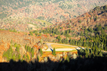
Parking lot and Blue Ridge Parkway would normally be packed with cars in October
My blog entries are sporadic. They have been interrupted at times by injuries, travel, COVID and, most recently, the calamity of Hurricane Helene. I live in Canton, NC which once more saw destruction of homes and businesses after rebuilding from TS Fred three years ago. But we were comparatively fortunate compared to what continues to be immense suffering and hardship in neighboring areas such as Asheville, Swannanoa, Marshall, Spruce Pine and many others. Hiking in the region has been incredibly impacted. This was my first serious hike in over a month. Many sections of national forests, state forests, state parks, and GSMNP remain closed. Major routes to Tennessee (I-40 and I-26) have had portions washed away. The Blue Ridge Parkway which provides access to many hiking areas is closed through the majority of North Carolina and will be for some time. The road I used for this hike was recently reopened but has areas of gravel where the road has been swept away.

Lake Logan
The Mountains to Sea Trail meanders 1,175 miles across North Carolina from Kuwohi (nee Clingman's Dome) in GSMNP to the Atlantic Ocean at Nags Head on the Outer Banks. Throughout most of Western North Carolina, it twists and turns a route that mirrors the Blue Ridge Parkway and provides access to many of the highlights along it. One of those is Devil's Courthouse which was the destination for this hike.

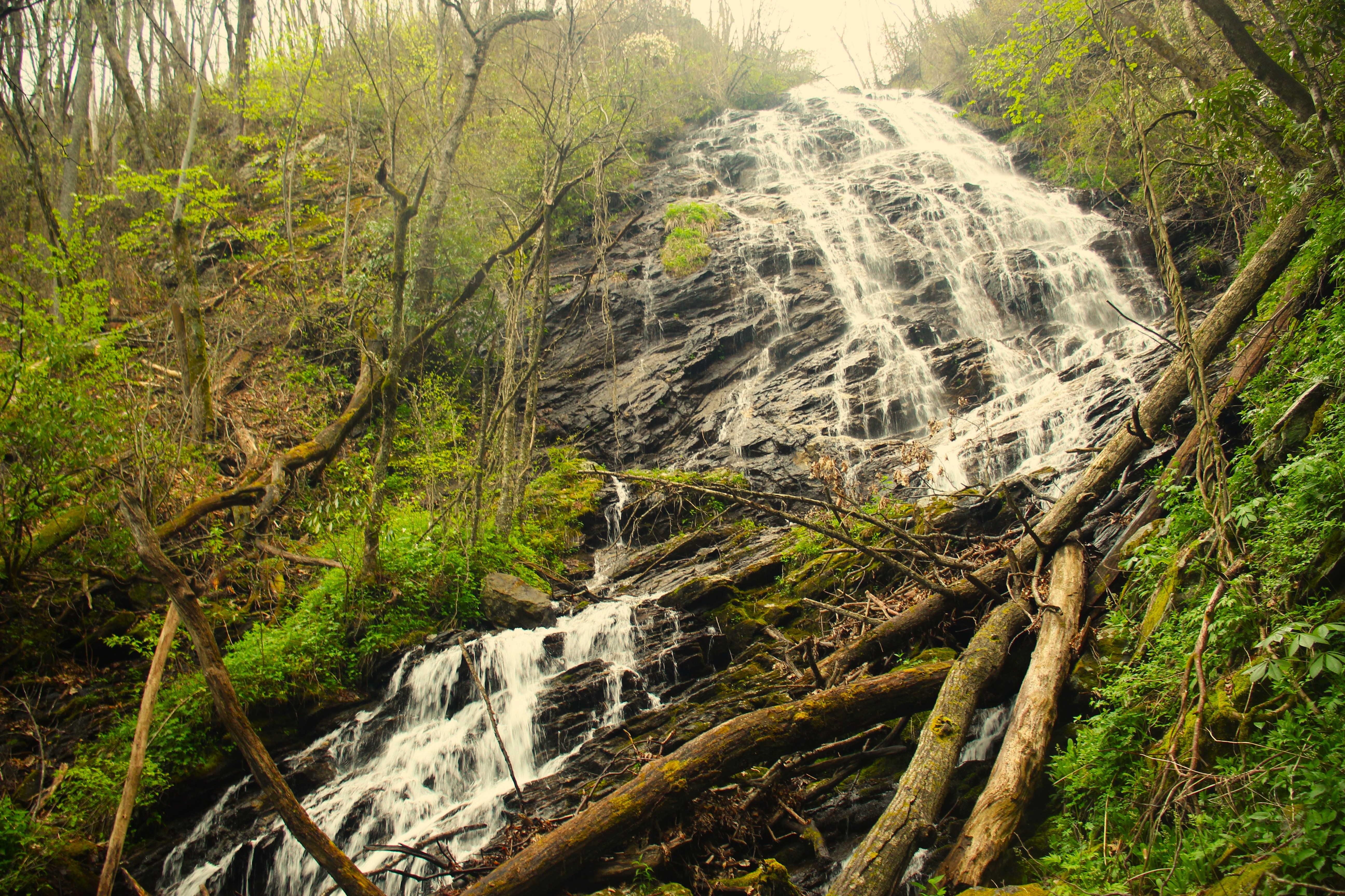
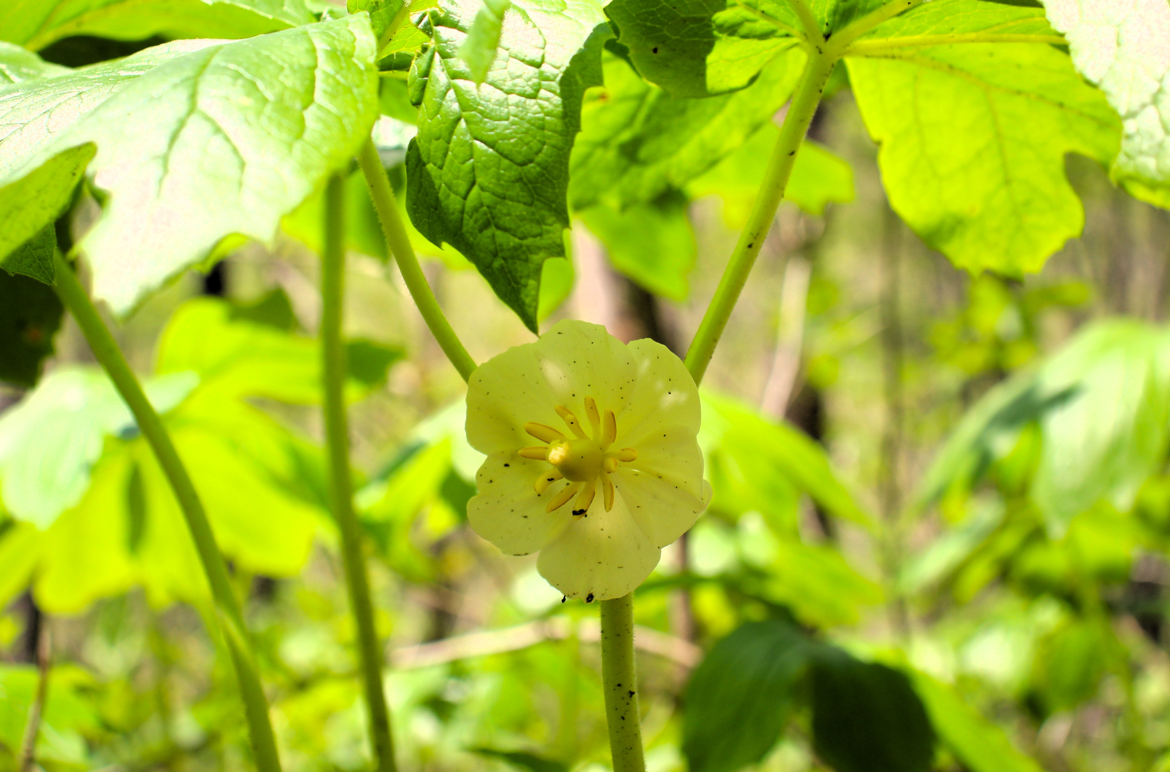
Hiking on fall mornings is full of delights for the senses: the pungent aroma of leaves, the tinge of the temperature, and the dazzle of color as the trees put on their annual spectacle. Helene, however, not only blew down trees but much of the foliage as well. This area of the Mountains to Sea trail was mostly denuded but that's okay. Even bare trees can be beautiful if you seek the beauty. And there are also groves of pines at this upper elevation. Fortunately, the short section of trail that I was on was not severely damaged by the hurricane. A walk in the Bent Creek section near Asheville a few days earlier showed countless trees that had fallen and been cleared, and sections of the trail washed away. Since I got an early start, I enjoyed the sight of the sun rising above the ridge and through the trees.

Devil's Courthouse is a rocky mountain formation that provides a panoramic view. On clear days you might be able to see neighboring states. The cliff faces are nesting areas for peregrine falcons and the valley below is home to many waterfalls, including the iconic Courthouse falls. There is a cave within the mountain where folk tales say the Devil holds court. Another popular legend is that the cavern is the dwelling place of the Cherokee slant-eyed giant, Judaculla. Cherokee legends abound in this area but are usually creations of non-natives. 


Helene not only brought great physical destruction, but the aftermath was catastrophic for emotional and mental health. Many, like myself, who rely on connection with nature for balance were deprived. Churches were closed or even destroyed. Support groups and mental health services were suspended. Those who might turn to alcohol to deal with the tragedy found breweries and liquor stores also closed or destroyed. And if you found someplace open, you better have had cash because internet was down everywhere. The only thing people had was each other, and the response was inspirational. Neighbors helped neighbors cutting trees, providing food and water, doing wellness checks, donating food, goods and money. In the midst of such horror, there was love and compassion. And there will continue to be a need for a long time to come so I am including a few links for those who might want to help. I would also encourage anyone who wants to read an even more profound example of this principle to read Viktor Frankl's seminal work "Man's Search For Meaning."
Help local merchants by shopping for the holidays: shopwnc.com/
An organization that continues to provide food despite being decimated: mannafoodbank.org/
My county is directing donations to: uwhaywood.org/


